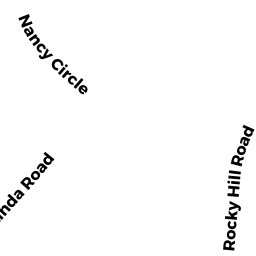
20 LINDA RD
Owner Information
BACCHI DOUGLAS A
20 LINDA RD
ANDOVER, MA 01810


Property Details
20 LINDA RD is classified as a Single Family Residential (Ranch).
The primary structure on this property was built in 1957. There are 3,522ft2 of built area within this property. There is 3,522ft2 of residential/living space within this property. This property is listed as having 8 rooms.
20 LINDA RD is valued at $576,400. The land is valued at $328,200 and the structures are valued at $245,200. There is an additional valuation of $3,000 on this property.
This property is in Zone SRC. Confirm with local Zoning Board authorities to ensure there are no overlays or other easements on this property.
20 LINDA RD was last sold on Friday, October 31, 1997 for $0.
Assessment data from fiscal year 2021.
Flood Data
According to the FEMA National Flood Hazard Layer, this property does not appear to be in a flood zone. It may also be in an area not yet reviewed. Nonetheless, confirm this information prior to taking any action.
To view the flood hazards around this property, create a FEMA "Firmette" Map of the area around 20 LINDA RD.
Broadband Internet Providers
| Provider | Type | Bandwidth (mbps) | |
|---|---|---|---|
| Crown Castle Fiber | Fiber | 0 | 0 |
| VSAT Systems, LLC. | Satellite | 2 | 1 |
| HughesNet | Satellite | 25 | 3 |
| GCI Communication Corp. | Satellite | 0 | 0 |
| Comcast | Cable | 1000 | 35 |
| Verizon New England Inc. | Fiber | 940 | 880 |
| Viasat Inc | Satellite | 100 | 3 |
Broadband service provider data from December 2020.
Adjacent Properties
- 22 LINDA RD
Single Family Residential owned by MORRISON KEITH - 16 LINDA RD
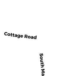
Single Family Residential owned by CHENEY TERESA O - 450 SOUTH MAIN ST
Single Family Residential owned by LE-KONG UYEN - 446 SOUTH MAIN ST
Single Family Residential owned by MCDOUGALL IRENE J LE - 448 SOUTH MAIN ST
Single Family Residential owned by KAREN E OBERG FT